Access well survey plans for Alberta, Saskatchewan, and British Columbia and get access to historic and current satellite imagery.
AbaData is your comprehensive solution for land title and disposition data, land status reporting, title mapping layer and county maps information.
Our software enables you to easily link crown disposition data to the BADGR plan distribution system.
An offline fast-mapping engine of Western Canada with an intuitive interface & GPS tracking.
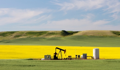
ExploreThe most robust, accurate & comprehensive pipeline and well data in Alberta.
ExploreAccess digital survey plans for the activity taking place on Crown Land for the Government of Alberta.
Access BADGRWestern Canada’s leading mapping & visualization software solution displaying complete land & infrastructure information.
ExploreTransform outdated inspection cycles and reduce risk by streamlining management of pigging, cathodic data, and more.
ExploreManage your assets with features like file storage, inspection service and scheduling, tasks, and more.
Learn more