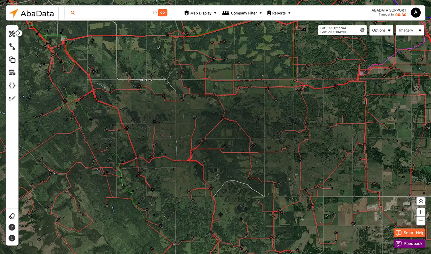
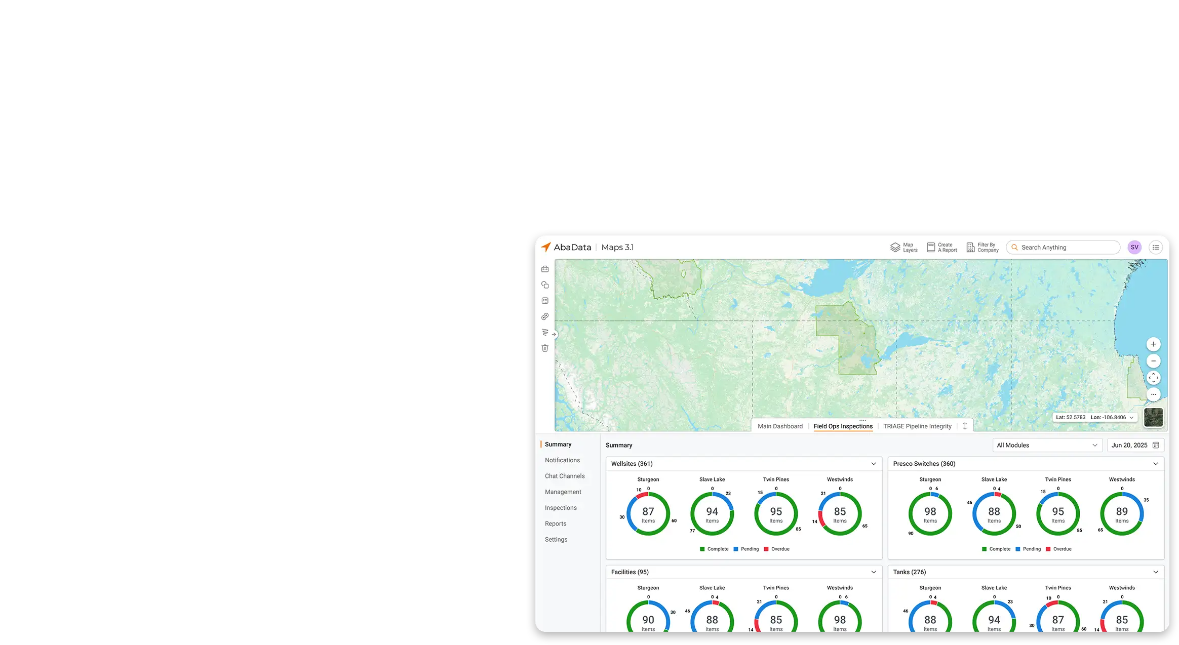
AbaData Maps 3.0 is the Energy Industry's most trusted GIS mapping solution, built to simplify complex data sets with an intuitive, easy-to-use interface. With access to over 100 accurate and up-to-date land and infrastructure datasets, users can instantly locate assets, analyze surface activity, and extract vital records. From wells, pipelines, and facilities to survey plans, production data, regulatory filings, and land status reports, AbaData delivers unmatched depth and reliability. Powerful tools for asset search, custom map layers, measurement, aerial and satellite imagery, and mobile access make it the go-to platform for professionals who need fast, reliable insights.
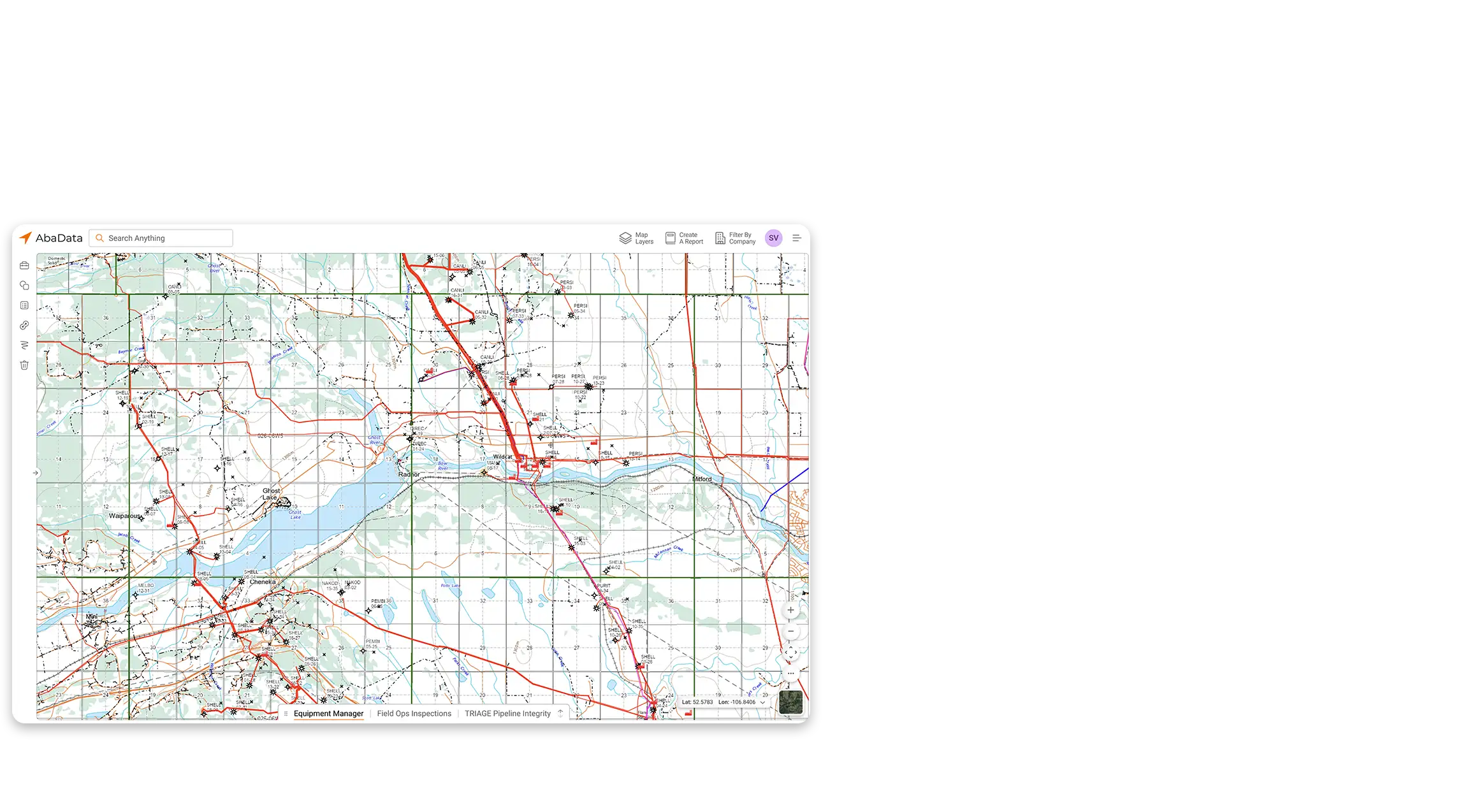
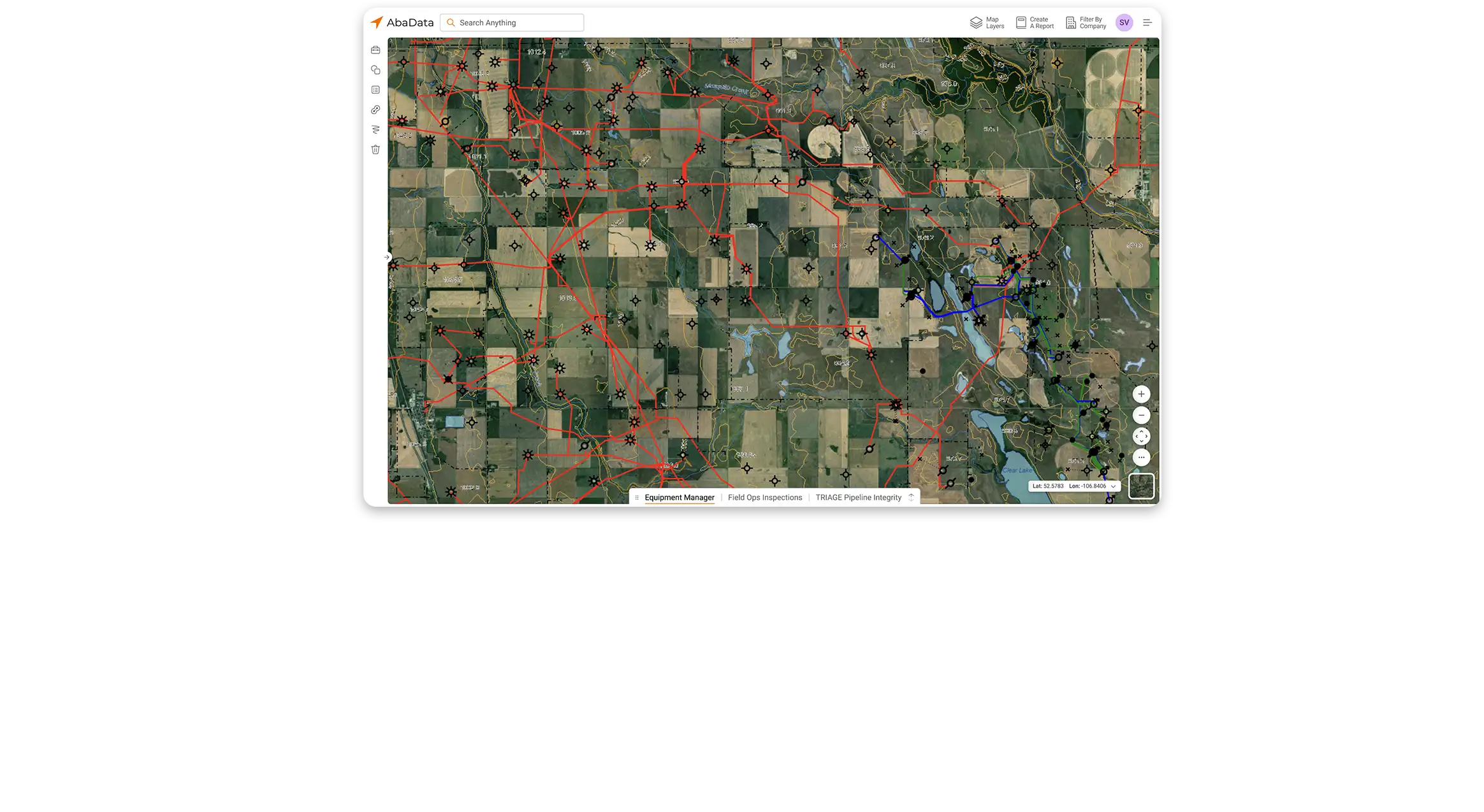
Tap into hundreds of regulatory, environmental, land use, and imagery datasets — all in one place and always up to date.
Build custom reports by selecting map objects or applying filters, giving you exactly the data you need, when you need it.
Locate assets with universal search by entering asset name, DLS, NTS, or its coordinates to zoom directly to your target.
Add text, lines, or shapes to your map, and save annotations for future reference to collaborate and track critical details.
Get driving directions to one or more locations and optimize routes to reduce travel time and improve efficiency.
Upload and visualize your own datasets alongside AbaData’s trusted data layers for complete operational context.
Export GIS layers or georeferenced PDFs to integrate AbaData data with your internal systems and workflows.
Generate and share well data, pipeline lists, facilities, or waypoints with other AbaData users to keep teams aligned.
Start your 7-day free trial or reach out to our support team with your questions today!

kilometers of pipelines
well production records
wells in our database
satisfied active users
“I have been using AbaData’s mapping program for over 10 years. The user interface is intuitive and easy to navigate, and the programs functionality has helped save a significant amount of time on mapping and data analysis tasks.”
“As a large enterprise with complex data needs, we’ve been thrilled with the suite of AbaData software tools. The flexibility and scalability of the platform have allowed us to customize our data solutions to meet our business requirements, and the user-friendly interface has made it easy for our teams to adopt.”
“With AbaData, our land team is faster, more accurate, and far less stressed. It’s become an essential part of our workflow.”
“Our team used to juggle multiple sources for land information. AbaData brought it all into one clear view.”
“AbaData has become a competitive advantage. We can respond to opportunities faster than before.”
AbaData Maps 3.0 is available to be licensed for one or as many seats as you need. Subscriptions are available on an annual basis only.
AbaData works with some of the largest companies in Canada. Get the Enterprise access you need for your corporation at a fraction of the cost of other providers.